Software. Toolchains for reproducable research.

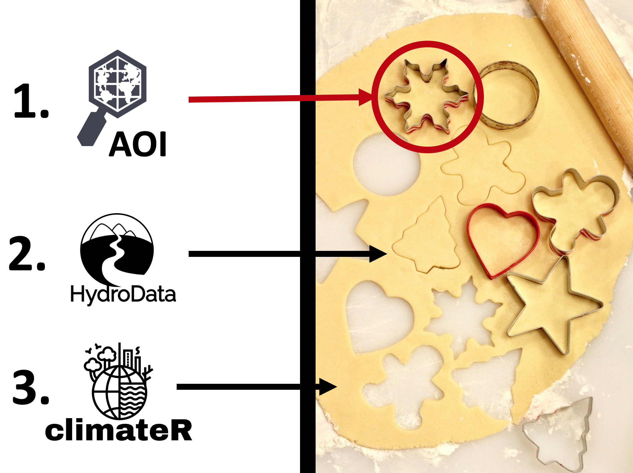
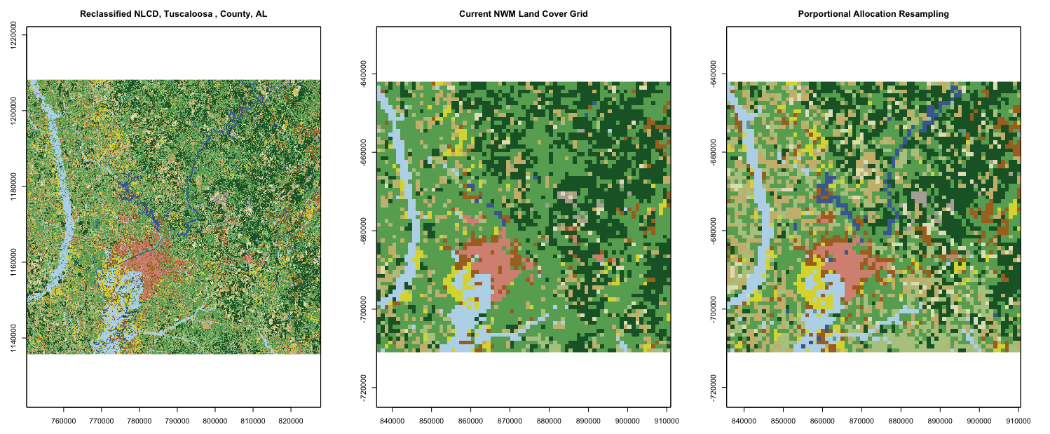
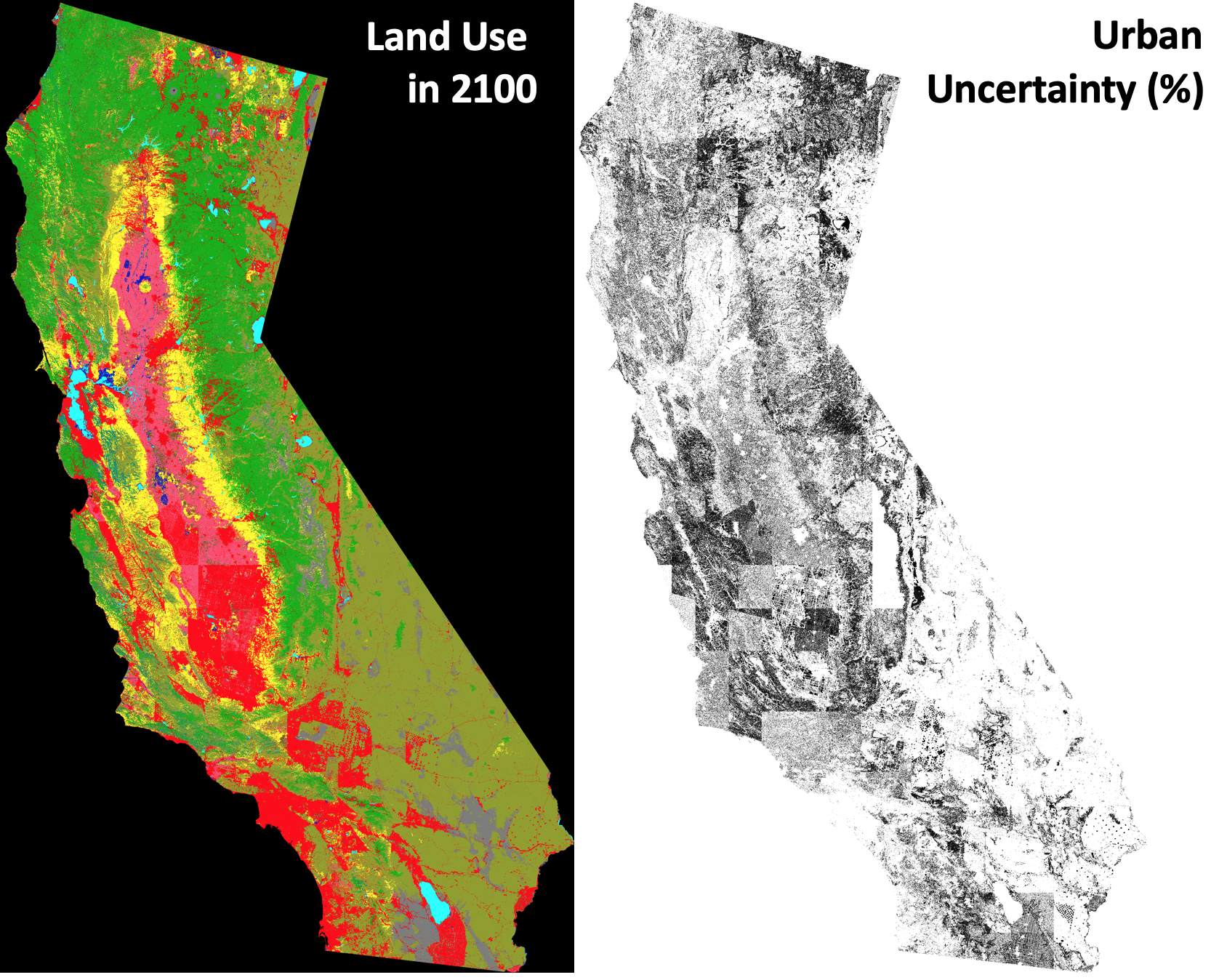
I write scientific software to facilitate reproducible and scalable data workflows. These packages are based on defining programmatic spatial boundaries that can interface with modeled (e.g. PRISM, gridMET), observation (e.g. NOAA, USGS) and referenced geospatial resources (e.g. NHD, NLCD) to download requisite data in consistent, aligned, formats. The goal is to remove the friction associated with data preparation, allow for iterative data analysis over user defined regions, and simplify reproducible science in the era of big data. Package development is an ongoing effort based on community interactions and my own needs. Feel free to reach out via GitHub for any requests.

Generic placeholder image

Data Representation.

Current work is exploring how land cover and channel geometries are represented in environmental models and the implications on hydrologic simulation. I am interested in the capacities for data integration and fusion to better parameterize models and inform our understanding of hydrologic process. These activities are aimed at advancing hydrologic metadata, integrating datasets across data models and granularities, and merging conceptual hydrologic and geographic models to better hydrologic data. The long-term goal is to ensure we have the most relevant data, represented in the most useful way for environmental research.

Generic placeholder image

Local hydrologic processes.

With the ability to quickly aggregate data, I am interested in studying how processes are represented at the watershed scale, and the impacts off changing conditions (e.g. land cover, climate, and disturbance). Most recently, I have been looking at issues related to urban infiltration, evapotranspiration, and operational flood mapping.

Generic placeholder image

Regional hydrologic changes. California 2100.

I am interested how regional changes in land cover and climate influence hydrologic conditions and variability. Current work has focused on the development of high-resolution climate and land cover forecasts for California. These will be used to drive the WRF-Hydro community model to better understand the independent and joint influences of land use and climate change of water availability in California. With these results we will explore vulnerable areas in the context of growth, groundwater pressures, and changing snowpack and runoff regimes.

Generic placeholder image

Human Behavior in Water Resource Systems. Agent-based Risk Models.

While land use and climate change are major influences of the hydrologic cycle, human users exert a critical influence on water resource systems. Current work had developed a coupled agent based, hydrologic model to better understand how farmer behavior impacts ground water resources and food production in California’s Central Valley.

Generic placeholder image